Field log · Durupınar site
Scientific Field Research on Mount Ararat
High-altitude geological documentation, subsurface scanning, and integrated field notes from an ongoing multi-disciplinary scientific investigation.
01Mandate
Noah's Ark Scans documents an ongoing field research initiative combining geological observation, topographic analysis, and scientific interpretation.
SiteDurupınar · 39.4408°N 44.2489°E
MethodsGPR · LiDAR · Photogrammetry
ProtocolNon-destructive · Open documentation
StatusOngoing research
Data output · subsurface
Subsurface Anomaly Interpretation
FIG. 01 · SUBSURFACE VISUALIZATIONIllustrative visualization · survey data pending validation
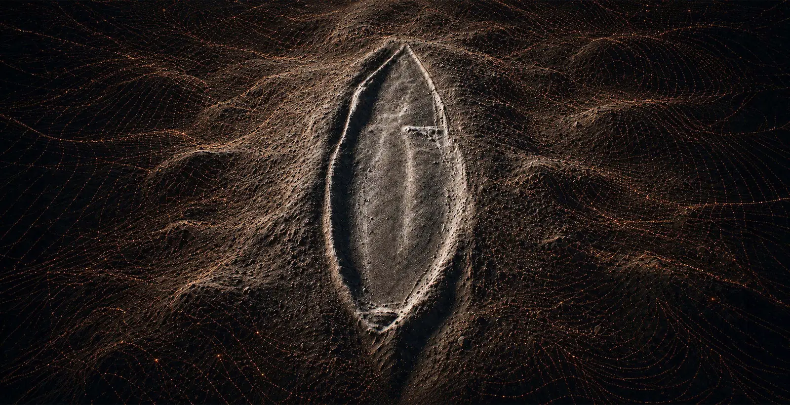
The programme maps, measures and publishes. Interpretation is documented separately from measurement, and every figure carries its acquisition context.
03News · log
All News Latest Updates
04Archive
Browse the Archive Field Documentation
The media archive is updated as field documentation is verified.


